There is no single live webcam sitting on the sand at Big Bay or Bloubergstrand. What locals actually use is a combination: a camera a few kilometres down the coast that looks straight across Table Bay, one or two cameras that look toward the mountain from nearby vantage points, and real wind numbers read alongside them. Put those together and you get a genuinely useful picture of what’s happening at the beach before you get in the car.
This guide lists what’s actually out there, what each camera is good for, and the quickest routine for checking before a kite session or a beach day.
Is there a live webcam right on Big Bay or Blouberg beach?
No. Despite “big bay cape town webcam” being a common search, there’s no public, dedicated beach-level camera standing on the sand at Big Bay, Bloubergstrand or Table View. Webcam aggregator sites such as Windfinder list webcam pages for Big Bay / Blouberg and for Table View / Bloubergstrand, but both simply pull in the nearest available cameras on a map, sorted by distance. None of those cameras is actually on the beachfront itself.
The closest thing to a real Blouberg coastal camera
The nearest useful view is a camera mounted at a guesthouse on Woodbridge Island, just south of Blouberg at the Milnerton end of the strip. It looks south across Table Bay toward Table Mountain, with Milnerton Lagoon and the Woodbridge Island houses in the foreground.
- Cost: free to view
- Access: aggregated on webcam directory sites rather than hosted on a dedicated app
- What it shows: Table Mountain, Table Bay, Milnerton Lagoon and the Atlantic in the distance
- Best use: gauging swell texture on the bay and general visibility, not wind strength directly
- Limitation: it faces across the bay rather than along the Blouberg beachfront, so you’re reading the bay’s surface, not the sand at Big Bay
Reading the Table Mountain “tablecloth” from a distance
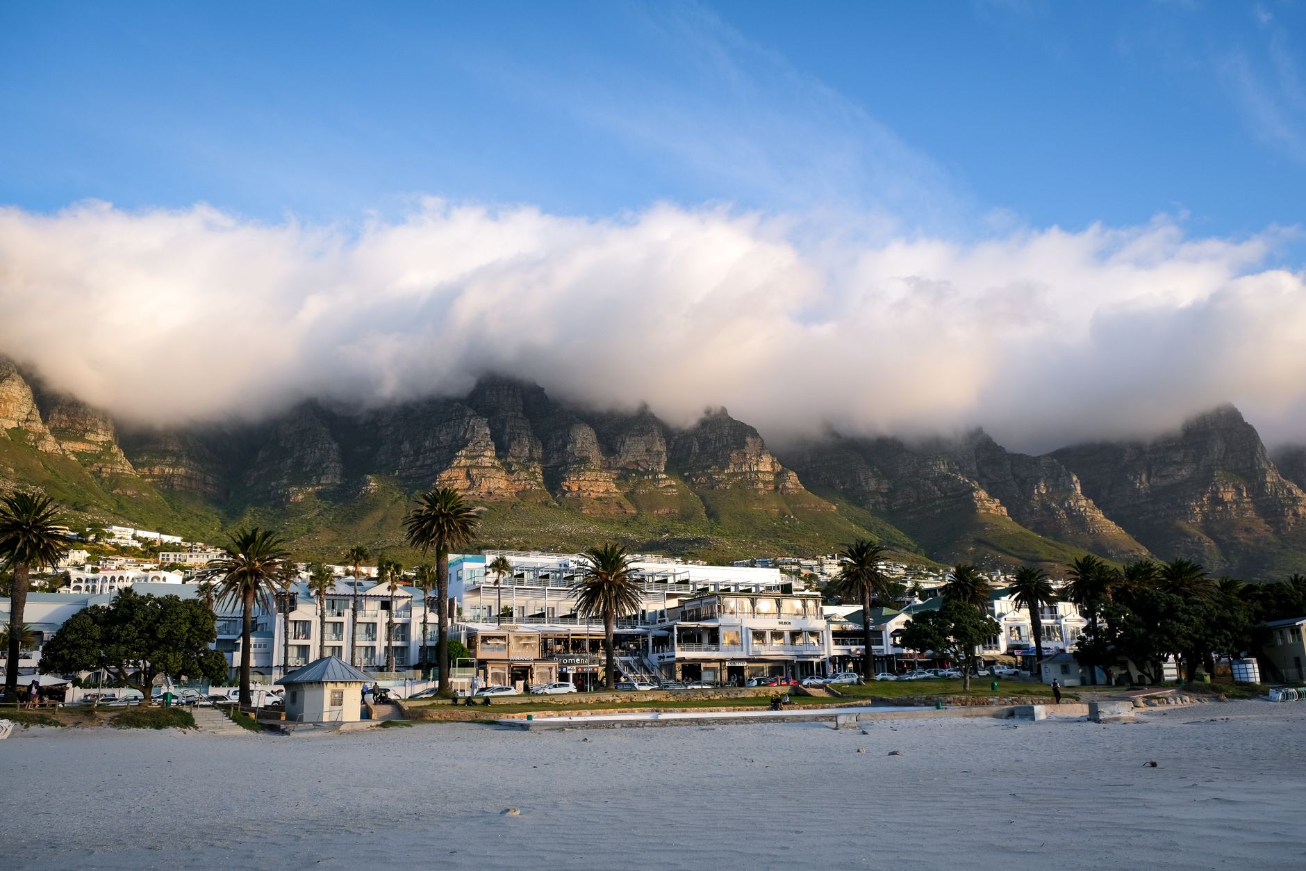
This is the trick most Capetonians already use without a dedicated kite webcam: when the southeaster is pumping, cloud spills over Table Mountain’s edge and pours down the front like a cloth over a table. If you can see a thick, fast-moving tablecloth on a city-facing camera, the southeaster is firing, which is exactly the wind direction that lights up Big Bay and the Blouberg strip. For background on why this wind behaves the way it does, see The Cape Doctor: Why Cape Town Howls in Summer, Explained.
Two cameras aggregated on Windfinder and similar sites give you this view from different angles:
| Camera | What it shows | Best for |
|---|---|---|
| Vanilla ISP rooftop cam (Cape Town CBD) | Table Mountain, Lion’s Head, Signal Hill, Three Anchor Bay and the city bowl, streamed live on YouTube via Vanilla’s own webcam page | Spotting the tablecloth forming or clearing |
| PANOMAX Table Mountain | A high-vantage panorama overlooking the City Bowl and Table Bay, near Lion’s Head | Cross-checking cloud cover and general sky conditions |
Both are free, both update continuously rather than on a timer, and both are several kilometres from Blouberg itself, so treat them as a wind-direction indicator rather than a direct read on wave height or crowd levels at the beach.
What about the Camps Bay cameras that show up in the same search?
Windfinder’s Big Bay and Table View webcam pages also surface two Camps Bay beach cameras, roughly 18-19km away on the other side of the peninsula. They’re on the Atlantic Seaboard, a different coastline with different wind exposure, so they won’t tell you anything directly about Big Bay. Their one genuine use: a building southwesterly swell or an incoming cold front often shows up on the Camps Bay side first, giving you a rough early warning before the same system reaches Table Bay.
Combining webcams with real wind data (the method that actually works)
A camera tells you roughly what’s happening right now; it can’t tell you wind speed in knots, and most of these feeds update every few minutes rather than streaming continuously. For that, pair whatever camera you check with an actual wind reading.
Blouberg.co.za runs a live weather station at Bloubergstrand with real-time wind speed, direction and gusts, which is the piece no webcam can give you. Check the station reading first, then glance at a tablecloth camera to confirm the direction is holding, rather than the other way around. If you’re new to telling the difference between the gentle midday sea breeze and a full southeaster, Sea Breeze vs Southeaster: Telling Blouberg’s Winds Apart explains what each one feels and looks like from the beach.
A quick pre-drive routine for kiters and beachgoers
- Check the live wind reading for Bloubergstrand: speed, direction and gusts.
- Glance at a Table Mountain camera for a tablecloth; a thick, low, fast-moving one usually means the southeaster is established.
- Check a short-range wind forecast (Windfinder or Windy) for the next two to three hours, since Cape Town’s wind can swing hard through a session.
- If you’re heading out specifically to kite, confirm the tide state too: Big Bay’s sandbanks and launch space change noticeably between low and high tide.
- For first-timers unsure what conditions suit a beginner, Learning to Kitesurf in Blouberg: Real Costs and Lesson Counts covers which wind strengths schools actually teach in.
None of this replaces simply driving the 10-15 minutes to look yourself, but on a day when you’re deciding between Big Bay and another spot, or timing a session around work, five minutes on a wind reading and a tablecloth check saves a wasted trip.
FAQ
Is there a dedicated live webcam for Big Bay beach?
No. No public camera is mounted directly on Big Bay or Bloubergstrand’s beachfront as of 2026-10-11. The closest usable view is the Woodbridge Island camera looking across Table Bay, combined with Table Mountain cameras for wind-direction clues.
How do I check Big Bay kitesurfing conditions without driving out?
Check a live wind reading for Bloubergstrand first, then confirm direction with a Table Mountain tablecloth camera. Big Bay itself hosts events like the King of the Air Big Bay precisely because its wind is reliable when the southeaster is running, so a confirmed southeaster reading is usually a good proxy for Big Bay conditions.
Why does Table Mountain’s cloud matter for wind at Blouberg?
The “tablecloth” cloud forms when a strong southeaster pushes moist air over the mountain, and that same southeaster is the wind that fills in at Big Bay and along the Blouberg strip. Seeing it build or clear on a city camera is a quick, free proxy for wind strength 15-20km away.
Are there webcams for Melkbosstrand or Sunset Beach too?
Webcam aggregator sites list a handful of cameras near Melkbosstrand, but like the Big Bay and Table View pages, they mostly pull in the same distant Table Mountain and Camps Bay feeds rather than a camera standing on that specific beach. Treat any aggregator listing for the West Coast the same way: useful for general wind direction, not a substitute for a local wind reading.
What’s the most reliable free way to judge conditions before driving to Blouberg?
A live wind station reading beats any webcam for accuracy, since webcams only show you a snapshot of sky and water rather than measured wind speed. Use the camera to sanity-check direction and cloud, and the station reading to decide if it’s actually worth the drive.
Sources & further reading
- Windfinder – Wind and weather webcams Big Bay / Blouberg
- Windfinder – Wind and weather webcams Table View / Bloubergstrand
- Windfinder – Wind and weather webcams Bloubergstrand / Big Bay
- Vanilla ISP – Cape Town live webcam (Table Mountain)
- Webcams.org.ru – Live webcams: Cape Town
- Surf-Forecast – Bloubergstrand webcams
- Windfinder – Wind and weather webcams Melkbos
Featured image: Scenic view of Camps Bay with Table Mountain and misty clouds in Cape Town, South Africa. by Magda Ehlers, via Pexels — Pexels License (free commercial use)